Overview
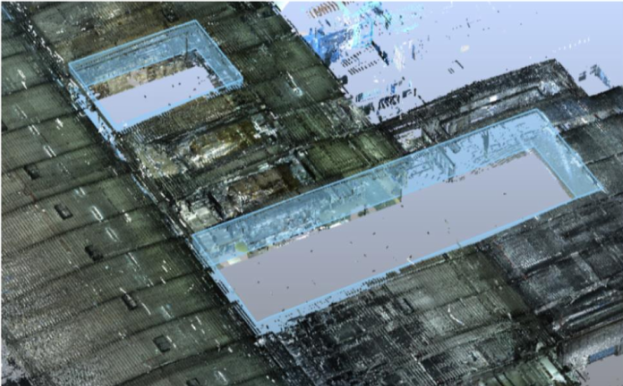
One of the most challenging parts of managing the CAD, scanning, and other dimensional data on large sites is keeping all that data on the same coordinate system. With data in hundreds of files and dozens of formats, keeping dimensional consistency can seem almost impossible to manage. With our technology you are one step ahead. As the need for new 3D scanning increases, you can easily position reference points and update the point cloud. A new point cloud is added and you gradually get a better overview of your project as changes are implemented.
Data from the field work is digitally processed, analyzed and generates new points to be set out. The workflow synchronizes data whenever new information becomes available, as the project evolves.
PROJECTS
The Traceable 3D System®
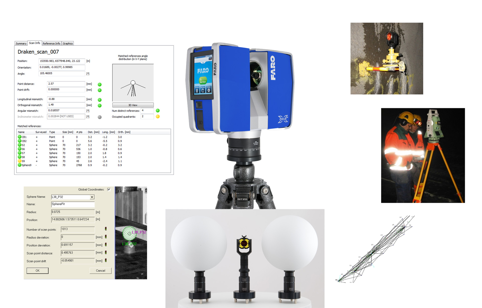
Traceable 3D® combines measurement, technology, and method in a unique workflow. Traceable 3D® quality assures your project over time by establishing repeatable benchmarks that efficiently support data capturing and analysis of 3D point clouds in a traceable and reusable process. This suits all types of surveying, scanning, and metrology instruments.
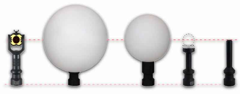
The Traceable 3D® system starts with a unique washer to achieve quality assured benchmarks. Washers are installed in multiple locations around your site and surveyed using advanced survey techniques to achieve high accuracy coordinates of each washer.
You easily mount the washer with a screw. A prism or other accessories then attach to the washer with the built-in magnet. You save time and improve productivity. Our technology suits all types of surveying, scanning, and metrology instruments.
High Reliability Point Clouds
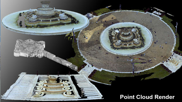
When you work with a point cloud you get exactly the same reliability as with a total station. The same trustworthy data you are used to. The process is also certified and traceable.
Today it is surprisingly easy to work with the point cloud from a 3D scanner. In the point cloud you have answers to questions you perhaps do not see today but will need answered tomorrow. The point cloud is therefore a considerable asset.
Measurement and analysis are performed in the point cloud. You can easily find any dimensions in the point cloud to plan future work. You can get an efficient work flow in the project.
Benefits of Site Benchmarks
Eliminate Repeated Cost
There are many benefits to bring your large site under dimensional control.
Large scanning projects require surveyed control points. With permanent benchmarks, you pay for this control one time instead of on every project. For even medium sites bench-marking can pay for itself the second time something is scanned. How many times have you already paid for surveys?
Partial Re-scanning
A big challenge facing anyone dealing with large scanning projects is change management. What if 10,000 sq. ft. of a 1,000,000 sq. ft. plant has changed? How will you integrate the new data into your existing data set? With benchmarks, this is not a problem. Simply scan 3 or more benchmarks in your new project and you can be assured that the data will match up to the previous set with amazing accuracy.
Pushing Out to Construction
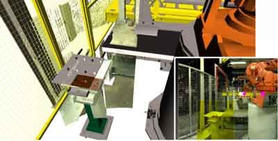
Millions of dollars are wasted every year by having inconsistent or no benchmarks for use in construction. With permanent benchmarks, you have control of the entire process from design to installation. Accessories such as survey prisms and laser tracker nests you can truly install to the model.
Contact Us
Please write your questions in the following form and we will get to you as soon as possible. We look forward to helping you achieve your goals.
