
Drone Footage of Sullivan Island Lighthouse

February 19, 2020
Drone Footage of Sullivan Island Lighthouse

Stephanie Sobieski |
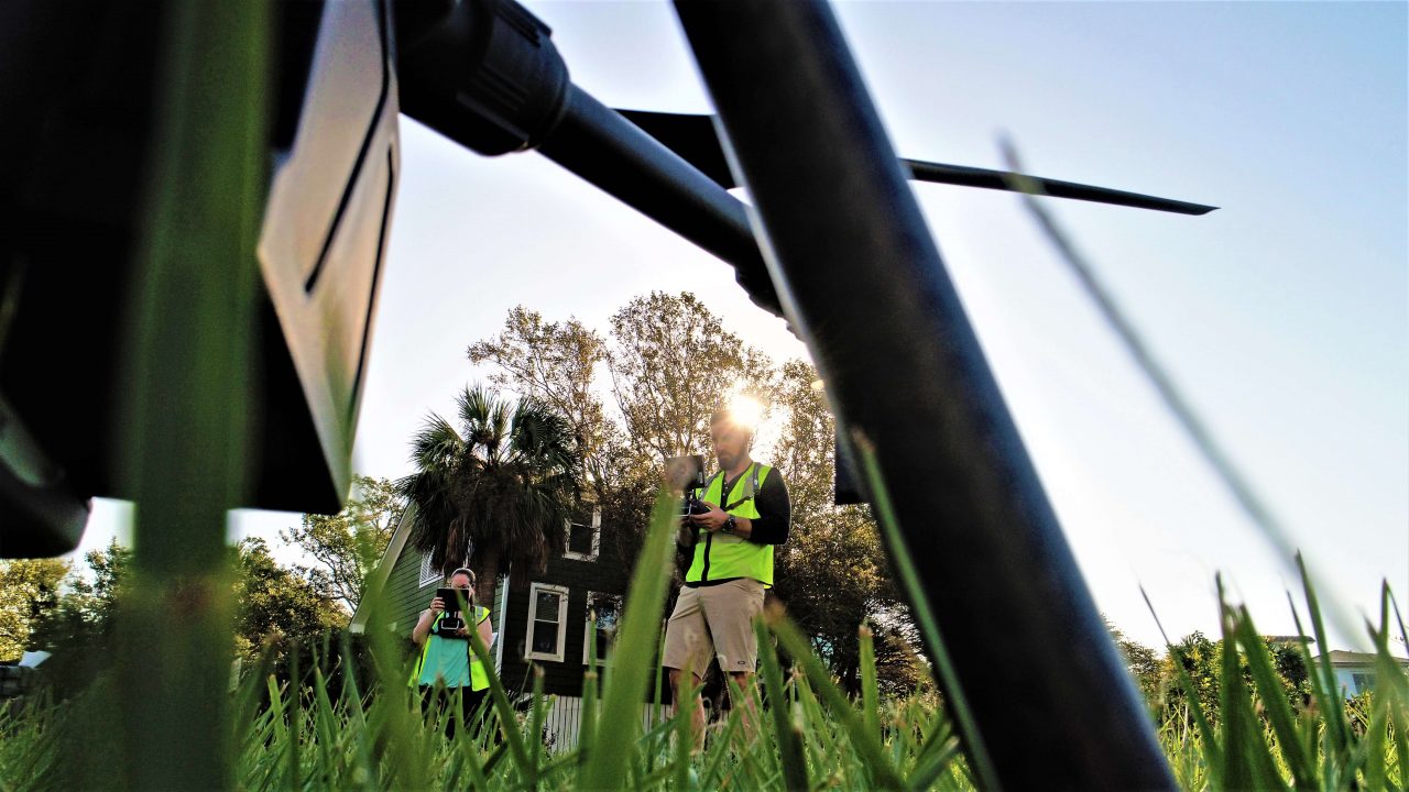
Traditional laser scanning processes can have limitations when there are large, inaccessible or unsafe areas that need to be scanned. Using a drone can allow for safe scanning of this unsafe areas with photogrammetry.
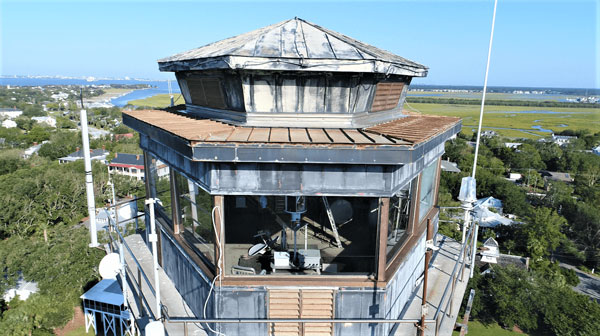
Charleston Light, also known as “Sullivan’s Island Lighthouse,” is located on Sullivan’s Island, South Carolina, which is the northern access to Charleston Harbor. The lighthouse stands at 162.5 feet and was built in 1960. The unique design was chosen for its capability to withstand winds up to 125 miles per hour. Sullivan’s lighthouse was the last major lighthouse built in the United States.
PMC captured drone footage to document the weathered building for future renovations and to preserve the historic structure with photogrammetry. Capturing in 4k allows for quadrupled resolution, permitting maximum zoom, and a clean video source to work with.

Traditional laser scanning allows for limitations when there are large, inaccessible or unsafe areas that need to be scanned.
PMC has multiple FAA-certified drone pilots to capture drone footage.
Drones are utilized when large areas are inaccessible for data collection.

Contact Us
Please write your questions in the following form and we will get to you as soon as possible. We look forward to helping you achieve your goals.
Stephanie Sobieski
You may also like
Scan-to-Twin for Warehouse Operations: Turning Storage Locations into Real-Time Digital Assets
John Tauchus | March 30, 2026

Scan-to-Twin: Converting an Outdated Asset Database into a Decision-Ready Digital Twin
John Tauchus | March 12, 2026

Comprehensive Steel Design & Detailing for a 10,000+ ft Automotive Conveyor System
Erica Smith | June 25, 2025

Capacity Study Using FlexSim and Layout Design for Consumer Goods Company
Erica Smith | June 10, 2025

Evaluation of Material Handling and Ergonomics in a University Hospital Network
Erica Smith | March 17, 2025
