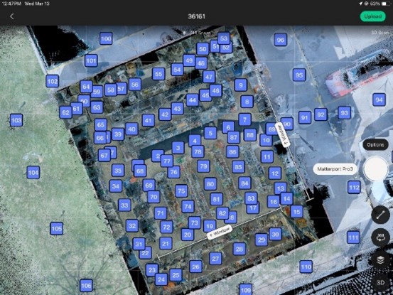
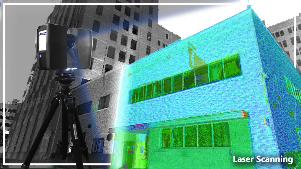
What Is 3D Laser Scanning? 3D Laser Scanning uses cutting edge technology to build “point clouds” to create digital representations oh physical assets. With these point […]
3D Laser Scanning may seem like an intimidating undertaking for your business, but with PMC’s experienced team of laser scanning from buildings, to trains, ships, and […]
The ecosystem of technologies that capture 3D spatial data (Reality Capture) has changed drastically over the last several years. The data reality capture is often use to develop BIM design models or […]
As terrestrial scanning becomes more common within the AEC industry a new challenge has emerged. What do we do with all the scan data? Many Options […]
Well, What is it? Terrestrial laser scanning (TLS) is a form of measuring with a tripod-based LIDAR (light detection and ranging) instrument used to capture high […]
What is Terrestrial Laser Scanning? 3D Laser Scanning is a non-contact, non-destructive technology that digitally captures the shape of physical objects using laser light. 3D laser […]